Hyperspectral Data v1.1 Release
· 2 min read

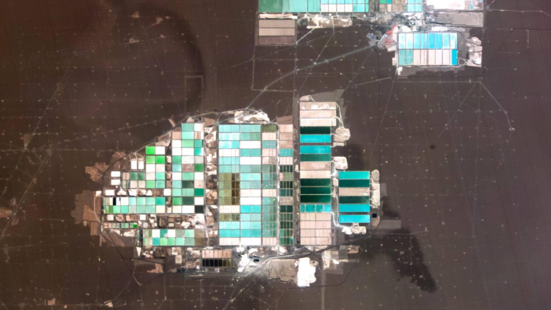
We are excited to announce version 1.1 of our Hyperspectral Data Products!
We have implemented significant improvements to our processing pipeline, resulting in improved image quality and consistent pixel size.
Release Notes
- Updated all folder and file naming convention to align with official Wyvern Product ID defined as:
wyvern_<platform_name>_<capture_date_time>_<collection_id>_<auxiliary_file_type>.<file_extension>, where
<platform_name>is one of the satellites in the Dragonette constellation<capture_date_time>is acquisition time in UTC format[YYYY][MM][DD]T[hh][mm][ss]<collection_id>is the first 8 characters of the image GUID<auxiliary_file_type>is auxiliary delivery filessuch aspreview,thumbnail,data_mask<file_extension>is common format file extensions such as.tiffor.json
- Introduced official product versioning and incremented up to v1.1
- Improvements to interpolation during geolocation processing steps.
- The pixel cell size for delivered imagery data products has been updated to preserve as much of the ground
sample distance (GSD) and inherent resolving capability of the imaging system on the Dragonette satellites as
possible. Since the L1B imagery data product is delivered in Geographic WGS84 (EPSG 4326) coordinate system
the spatial X & Y cell size of any given image pixel is defined in angular Longitude & Latitude degree units.
In order to preserve the inherent GSD the pixel cell size for any given imagery data product is set as the
Longitude & Latitude angular degree equivalents of
X=5.0 mxY=5.0 mspatial size for the latitude location of the center of the image scene. Consequently, the pixel cell size in Longitude & Latitude degree units will be non-square and vary based on the latitude location of any given imagery data product (e.g., at 40°N latitudeX=5.0 mxY=5.0 min cartesian map distance translates toLon=0.0000586°xLat=0.0000450°in geographic angular degrees). - Updated the STAC JSON metadata:
- Added the processing version.
- Changed the common name for Band_799nm to
nir.
- Improved radiance values for all bands, particularly bands
503 nm,510 nm,519 nm,535 nm,549 nm.- Improved bias subtraction and flat fielding.
- Improved the overall radiometry for band 510 nm.
- Minor vertical image destriping corrections.
Datasets
Along with the release of our v1.1 data product, our sample datasets have been updated accordingly.
Available Datasets
- Big Spring, Texas
- El Centro, California